Access track to Pantyffynnon Farm
Introduction
The photograph on this page of Access track to Pantyffynnon Farm by Alan Bowring as part of the Geograph project.
The Geograph project started in 2005 with the aim of publishing, organising and preserving representative images for every square kilometre of Great Britain, Ireland and the Isle of Man.

There are currently over 7.5m images from over 14,400 individuals and you can help contribute to the project by visiting https://www.geograph.org.uk
Access track to Pantyffynnon Farm
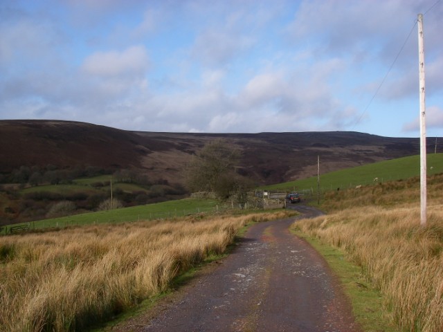
Image: © Alan Bowring Taken: 18 Jan 2009
This track which is also a public footpath gives access onto the southern and western slopes of Foel Deg-arbedol and upper Cwm Pedol - a little visited corner of the Brecon Beacons National Park.
Images are licensed for reuse under creativecommons.org/licenses/by-sa/2.0
Image Location
Latitude
51.819426
Longitude
-3.888949