Turnford College building site
Introduction
The photograph on this page of Turnford College building site by Talisman as part of the Geograph project.
The Geograph project started in 2005 with the aim of publishing, organising and preserving representative images for every square kilometre of Great Britain, Ireland and the Isle of Man.

There are currently over 7.5m images from over 14,400 individuals and you can help contribute to the project by visiting https://www.geograph.org.uk
Turnford College building site
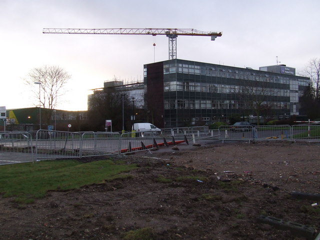
Image: © Talisman Taken: 18 Jan 2009
Seen here to the rear of the main building is some of the building work that is going on Hertford Regional College, Turnford. The expansion was partly funded by selling off a lot of the grounds to build houses and flats (off to the left of the picture).
Images are licensed for reuse under creativecommons.org/licenses/by-sa/2.0
Image Location
Latitude
51.724761
Longitude
-0.02441