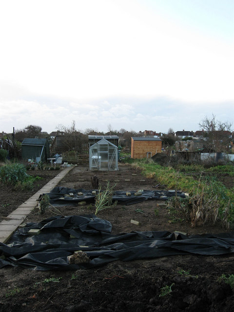
Weald Allotments
Introduction
The photograph on this page of Weald Allotments by Simon Carey as part of the Geograph project.
The Geograph project started in 2005 with the aim of publishing, organising and preserving representative images for every square kilometre of Great Britain, Ireland and the Isle of Man.
There are currently over 7.5m images from over 14,400 individuals and you can help contribute to the project by visiting https://www.geograph.org.uk

Image: © Simon Carey Taken: 18 Jan 2009
Bounded by Cranmer Avenue and Old Shoreham Road in the south, Hove Park School to the east, Holmes Avenue to the west and Nevill Avenue in the north. They have been allotments in the area since the 1890s once stretching from Nevill Road in the east to Elm Drive in the west and Nevill Road and Court Farm Road in the north, however, building developments have gradually diminished the size, Nevill Avenue's construction in the north in 1932 halved the size, housing in the 1970s plus schools and hospitals have reduced the number of plots to the current 336. This still makes it possibly the largest allotment in Brighton and Hove.

