Playing Field, Hove Park School
Introduction
The photograph on this page of Playing Field, Hove Park School by Simon Carey as part of the Geograph project.
The Geograph project started in 2005 with the aim of publishing, organising and preserving representative images for every square kilometre of Great Britain, Ireland and the Isle of Man.

There are currently over 7.5m images from over 14,400 individuals and you can help contribute to the project by visiting https://www.geograph.org.uk
Playing Field, Hove Park School
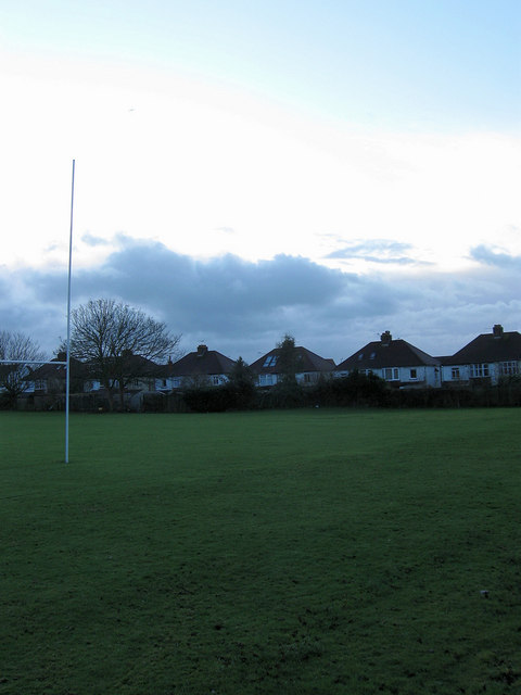
Image: © Simon Carey Taken: 18 Jan 2009
The houses front onto Old Shoreham Road. Once allotments the land became part of Hove County Grammar School for Girls in the 1930s and changed to the current mixed comprehensive when the schools were reorganised in 1979.
Images are licensed for reuse under creativecommons.org/licenses/by-sa/2.0
Image Location
Latitude
50.839626
Longitude
-0.181906