Park View Road
Introduction
The photograph on this page of Park View Road by Simon Carey as part of the Geograph project.
The Geograph project started in 2005 with the aim of publishing, organising and preserving representative images for every square kilometre of Great Britain, Ireland and the Isle of Man.

There are currently over 7.5m images from over 14,400 individuals and you can help contribute to the project by visiting https://www.geograph.org.uk
Park View Road
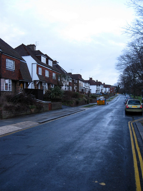
Image: © Simon Carey Taken: 18 Jan 2009
On the western side of Hove Park. The small estate that is bounded by Old Shoreham Road, Nevill Road, the Greyhound stadium and the park was built on the site of an old apple orchard in the 1920s.
Images are licensed for reuse under creativecommons.org/licenses/by-sa/2.0
Image Location
Latitude
50.839956
Longitude
-0.174223