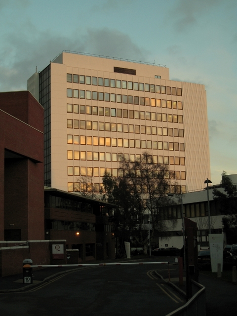
Cloreen Park, Belfast
Introduction
The photograph on this page of Cloreen Park, Belfast by Rossographer as part of the Geograph project.
The Geograph project started in 2005 with the aim of publishing, organising and preserving representative images for every square kilometre of Great Britain, Ireland and the Isle of Man.
There are currently over 7.5m images from over 14,400 individuals and you can help contribute to the project by visiting https://www.geograph.org.uk

Image: © Rossographer Taken: 16 Jan 2009
At one time I imagine that Cloreen Park, off the Malone Road, would have contained mainly houses. I think that the street was originally named Chlorine Place but underwent a change of name at some point. Now it is a short cul-de-sac and a virtual private road for the Queen's University of Belfast - all of the buildings seen here are part of the university. See also Image The picture is dominated by the towering Ashby building which is accessed via the Stranmillis Road - see also Image

