New housing, Bargeddie
Introduction
The photograph on this page of New housing, Bargeddie by Richard Webb as part of the Geograph project.
The Geograph project started in 2005 with the aim of publishing, organising and preserving representative images for every square kilometre of Great Britain, Ireland and the Isle of Man.

There are currently over 7.5m images from over 14,400 individuals and you can help contribute to the project by visiting https://www.geograph.org.uk
New housing, Bargeddie
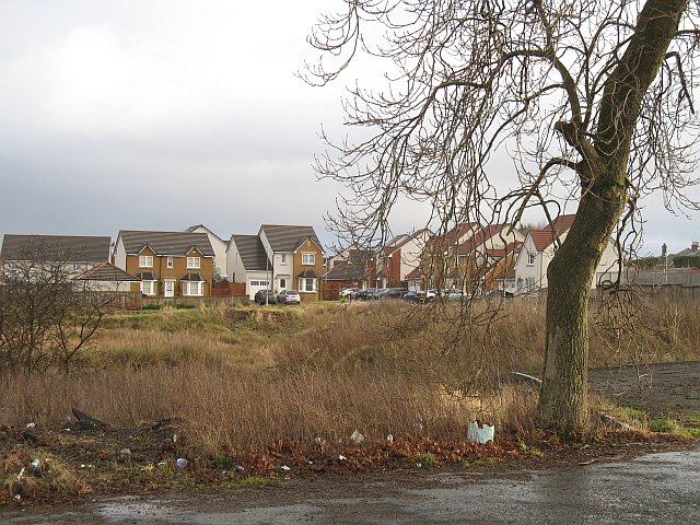
Image: © Richard Webb Taken: 18 Jan 2009
A recently built housing estate. The houses on the edge have for now, a fine view of the M73.
Images are licensed for reuse under creativecommons.org/licenses/by-sa/2.0
Image Location
Latitude
55.85802
Longitude
-4.077042