Downhill at Cwm Mawr
Introduction
The photograph on this page of Downhill at Cwm Mawr by Deborah Tilley as part of the Geograph project.
The Geograph project started in 2005 with the aim of publishing, organising and preserving representative images for every square kilometre of Great Britain, Ireland and the Isle of Man.

There are currently over 7.5m images from over 14,400 individuals and you can help contribute to the project by visiting https://www.geograph.org.uk
Downhill at Cwm Mawr
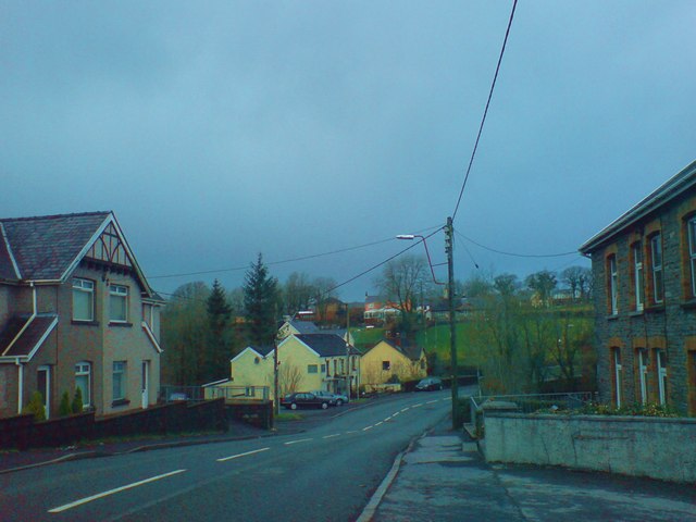
Image: © Deborah Tilley Taken: 18 Jan 2009
Between Tumble and Drefach. The Gwendraeth Arms is the pub in the middle distance.
Images are licensed for reuse under creativecommons.org/licenses/by-sa/2.0
Image Location
Latitude
51.793049
Longitude
-4.132485