Cairn near Chapelton
Introduction
The photograph on this page of Cairn near Chapelton by Anne Burgess as part of the Geograph project.
The Geograph project started in 2005 with the aim of publishing, organising and preserving representative images for every square kilometre of Great Britain, Ireland and the Isle of Man.

There are currently over 7.5m images from over 14,400 individuals and you can help contribute to the project by visiting https://www.geograph.org.uk
Cairn near Chapelton
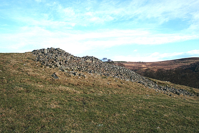
Image: © Anne Burgess Taken: 18 Jan 2009
This pile of stones is separated from Carn a'Bhodaich by a few metres of grass, and I am unsure whether this is part of the original cairn or not. See http://www.rcahms.gov.uk/pls/portal/canmore.newcandig_details_gis?inumlink=16028
Images are licensed for reuse under creativecommons.org/licenses/by-sa/2.0
Image Location
Latitude
57.356828
Longitude
-3.367065