Carn a'Bhodaich
Introduction
The photograph on this page of Carn a'Bhodaich by Anne Burgess as part of the Geograph project.
The Geograph project started in 2005 with the aim of publishing, organising and preserving representative images for every square kilometre of Great Britain, Ireland and the Isle of Man.

There are currently over 7.5m images from over 14,400 individuals and you can help contribute to the project by visiting https://www.geograph.org.uk
Carn a'Bhodaich
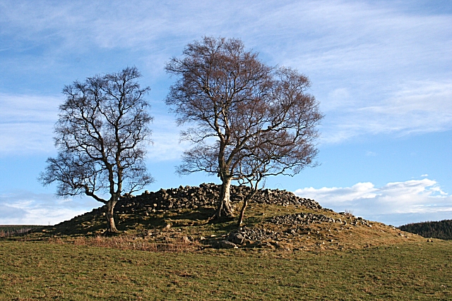
Image: © Anne Burgess Taken: 18 Jan 2009
There were originally three cairns here, and this is the sole survivor. See http://www.rcahms.gov.uk/pls/portal/canmore.newcandig_details_gis?inumlink=16028 for full details.
Images are licensed for reuse under creativecommons.org/licenses/by-sa/2.0
Image Location
Latitude
57.357084
Longitude
-3.368239