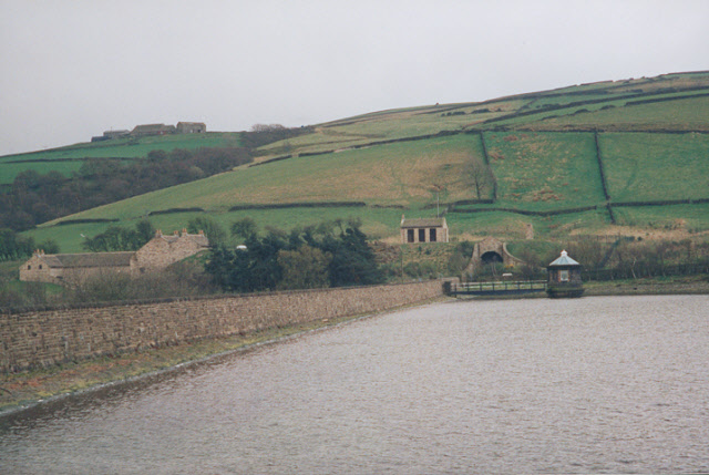
Brownhill Reservoir
Introduction
The photograph on this page of Brownhill Reservoir by Stephen Craven as part of the Geograph project.
The Geograph project started in 2005 with the aim of publishing, organising and preserving representative images for every square kilometre of Great Britain, Ireland and the Isle of Man.
There are currently over 7.5m images from over 14,400 individuals and you can help contribute to the project by visiting https://www.geograph.org.uk

Image: © Stephen Craven Taken: 8 Apr 1998
Brownhill dam was built in the 1930s. When this reservoir is full, the long-term settlement of the earth dam can be clearly seen (follow the line of the bottom of the wave wall, compared with the water surface which must be horizontal). In the middle distance is the valve tower, and the buildings on the far side are the water treatment works.

