Asquith Road Allotments
Introduction
The photograph on this page of Asquith Road Allotments by Terry Jacombs as part of the Geograph project.
The Geograph project started in 2005 with the aim of publishing, organising and preserving representative images for every square kilometre of Great Britain, Ireland and the Isle of Man.

There are currently over 7.5m images from over 14,400 individuals and you can help contribute to the project by visiting https://www.geograph.org.uk
Asquith Road Allotments
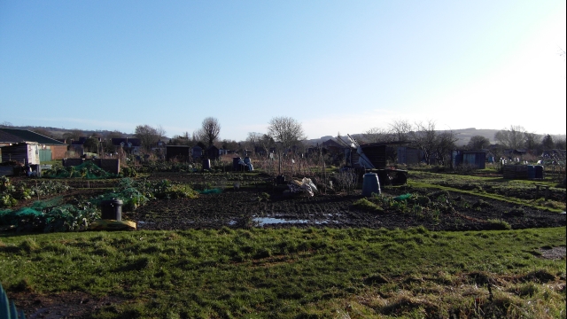
Image: © Terry Jacombs Taken: 18 Jan 2009
The allotments cover all the ground south of Naunton Park between the Old Bath Road and Asquith Road.
Images are licensed for reuse under creativecommons.org/licenses/by-sa/2.0
Image Location
Latitude
51.883219
Longitude
-2.072014