View east from Jubilee Road
Introduction
The photograph on this page of View east from Jubilee Road by Pauline E as part of the Geograph project.
The Geograph project started in 2005 with the aim of publishing, organising and preserving representative images for every square kilometre of Great Britain, Ireland and the Isle of Man.

There are currently over 7.5m images from over 14,400 individuals and you can help contribute to the project by visiting https://www.geograph.org.uk
View east from Jubilee Road
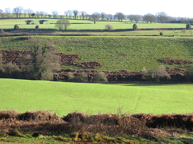
Image: © Pauline E Taken: 18 Jan 2009
From Plump Hill, Jubilee Road runs down to Horsepool Bottom. The view east across a small brook is towards Flaxley Woods.
Images are licensed for reuse under creativecommons.org/licenses/by-sa/2.0
Image Location
Latitude
51.847909
Longitude
-2.481772