2009 : Lye's Green, looking toward Court Lane
Introduction
The photograph on this page of 2009 : Lye's Green, looking toward Court Lane by Maurice Pullin as part of the Geograph project.
The Geograph project started in 2005 with the aim of publishing, organising and preserving representative images for every square kilometre of Great Britain, Ireland and the Isle of Man.

There are currently over 7.5m images from over 14,400 individuals and you can help contribute to the project by visiting https://www.geograph.org.uk
2009 : Lye's Green, looking toward Court Lane
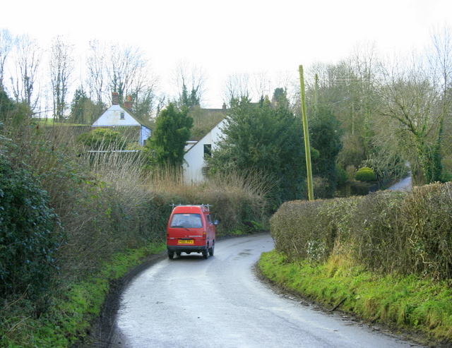
Image: © Maurice Pullin Taken: 13 Jan 2009
http://www.wiltshire.gov.uk/community/getcom.php?id=72 has this and much more so say. "The small parish of Corsley is situated on the Somerset border next to Longleat. It is quite unusual in that it has no village and no centre, only the distinct hamlets of Corsley, three Whitbournes, Longhedge, Corsley Heath, Lane End and Lyes Green, loosely connected by narrow lanes. The name is obscure, but probably comes from the Old British ‘Cors’ meaning reeds or a swamp. Apart from the chalk area around Cley Hill, most of the parish is on Upper Greensand. Two streams flowing west into Somerset trisect it."
Images are licensed for reuse under creativecommons.org/licenses/by-sa/2.0
Image Location
Latitude
51.213901
Longitude
-2.260657