Hook Lane, north of Litton
Introduction
The photograph on this page of Hook Lane, north of Litton by Brian Robert Marshall as part of the Geograph project.
The Geograph project started in 2005 with the aim of publishing, organising and preserving representative images for every square kilometre of Great Britain, Ireland and the Isle of Man.

There are currently over 7.5m images from over 14,400 individuals and you can help contribute to the project by visiting https://www.geograph.org.uk
Hook Lane, north of Litton
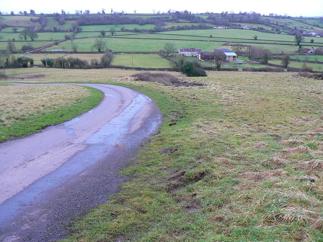
Image: © Brian Robert Marshall Taken: 17 Jan 2009
Hook Lane drops down into the valley in which Litton is situated. This part of it is unfenced. The farm at the right is Elm Tree Farm at ST595552
Images are licensed for reuse under creativecommons.org/licenses/by-sa/2.0
Image Location
Latitude
51.296016
Longitude
-2.580669