Crossroads north of Wylam
Introduction
The photograph on this page of Crossroads north of Wylam by Andrew Curtis as part of the Geograph project.
The Geograph project started in 2005 with the aim of publishing, organising and preserving representative images for every square kilometre of Great Britain, Ireland and the Isle of Man.

There are currently over 7.5m images from over 14,400 individuals and you can help contribute to the project by visiting https://www.geograph.org.uk
Crossroads north of Wylam
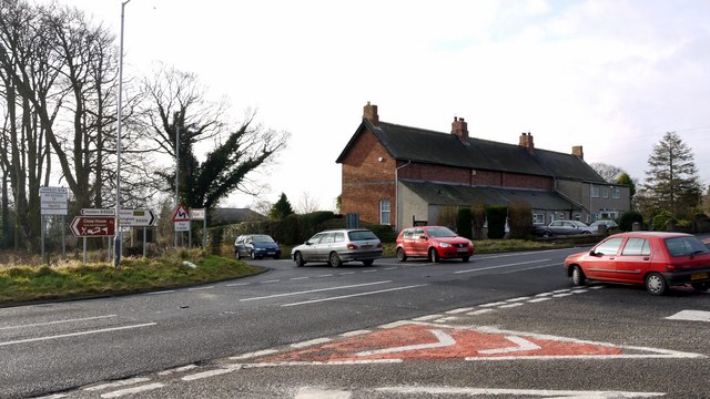
Image: © Andrew Curtis Taken: 16 Jan 2009
The road straight ahead is the main road into Wylam from the north. The village is 1.5 miles downhill in the Tyne valley. The road crossing is the old A69 ('Hexham Road') now bypassed by a new dual carriageway which links to this crossroads from the road behind.
Images are licensed for reuse under creativecommons.org/licenses/by-sa/2.0
Image Location
Latitude
54.990546
Longitude
-1.834151