Jamaica Road, Malvern
Introduction
The photograph on this page of Jamaica Road, Malvern by Bob Embleton as part of the Geograph project.
The Geograph project started in 2005 with the aim of publishing, organising and preserving representative images for every square kilometre of Great Britain, Ireland and the Isle of Man.

There are currently over 7.5m images from over 14,400 individuals and you can help contribute to the project by visiting https://www.geograph.org.uk
Jamaica Road, Malvern
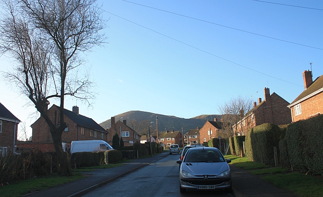
Image: © Bob Embleton Taken: 17 Jan 2009
Looking towards North Hill. The fields here were bought, hundreds of years ago, using profits from the estates in Jamaica. The name of the council house estate, built in the late 1940s, reflects this.
Images are licensed for reuse under creativecommons.org/licenses/by-sa/2.0
Image Location
Latitude
52.130044
Longitude
-2.32251