Housing diversity (Mayfield Avenue)
Introduction
The photograph on this page of Housing diversity (Mayfield Avenue) by Ian Capper as part of the Geograph project.
The Geograph project started in 2005 with the aim of publishing, organising and preserving representative images for every square kilometre of Great Britain, Ireland and the Isle of Man.

There are currently over 7.5m images from over 14,400 individuals and you can help contribute to the project by visiting https://www.geograph.org.uk
Housing diversity (Mayfield Avenue)
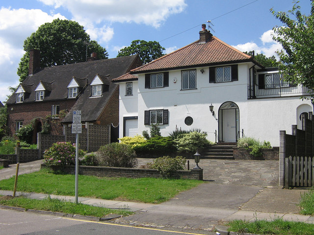
Image: © Ian Capper Taken: 5 Jun 2008
A series of photos showing the diversity of housing in one gridsquare in outer suburbia. For others in series see http://www.geograph.org.uk/search.php?i=1905481. Any further information, such as building dates and what was on the sites before building, would be appreciated. These are two distinctive houses in the short stretch of Mayfield Avenue to the west of Knoll Rise.
Images are licensed for reuse under creativecommons.org/licenses/by-sa/2.0
Image Location


Leaflet Map data © OpenStreetMap
Latitude
51.375729
Longitude
0.090236