Prince Charles Way
Introduction
The photograph on this page of Prince Charles Way by Gary Thompson as part of the Geograph project.
The Geograph project started in 2005 with the aim of publishing, organising and preserving representative images for every square kilometre of Great Britain, Ireland and the Isle of Man.

There are currently over 7.5m images from over 14,400 individuals and you can help contribute to the project by visiting https://www.geograph.org.uk
Prince Charles Way
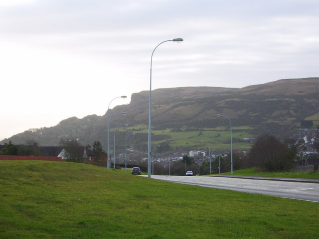
Image: © Gary Thompson Taken: 17 Jan 2009
View along Prince Charles Way looking towards Cavehill.
Images are licensed for reuse under creativecommons.org/licenses/by-sa/2.0
Image Location
Latitude
54.678583
Longitude
-5.948112