Charlton Park Foot and Cycle Paths
Introduction
The photograph on this page of Charlton Park Foot and Cycle Paths by Terry Jacombs as part of the Geograph project.
The Geograph project started in 2005 with the aim of publishing, organising and preserving representative images for every square kilometre of Great Britain, Ireland and the Isle of Man.

There are currently over 7.5m images from over 14,400 individuals and you can help contribute to the project by visiting https://www.geograph.org.uk
Charlton Park Foot and Cycle Paths
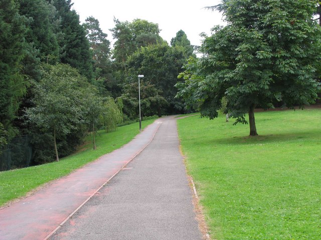
Image: © Terry Jacombs Taken: 4 Aug 2005
The foot and cycle paths provide a traffic free route (apart from crossing a couple of roads) from the edge of Charlton Kings to the centre of Cheltenham.
Images are licensed for reuse under creativecommons.org/licenses/by-sa/2.0
Image Location
Latitude
51.885023
Longitude
-2.062428