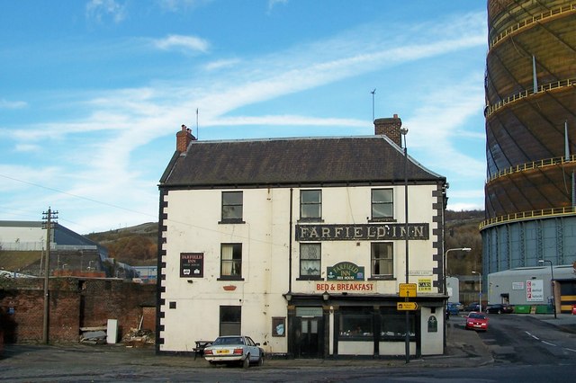
Farfield Inn, Neepsend, Sheffield - 1
Introduction
The photograph on this page of Farfield Inn, Neepsend, Sheffield - 1 by Terry Robinson as part of the Geograph project.
The Geograph project started in 2005 with the aim of publishing, organising and preserving representative images for every square kilometre of Great Britain, Ireland and the Isle of Man.
There are currently over 7.5m images from over 14,400 individuals and you can help contribute to the project by visiting https://www.geograph.org.uk

Image: © Terry Robinson Taken: 12 Nov 2008
This Public House has an interesting history. Allegedly built in 1754 as a Gentleman's Residence - presumably when the surrounding area was more refined! But it has been a pub serving the local industry and nearby Barracks for many years under various names such as The Owl and latterly the Farfield Inn. It was damaged during the 1864 Sheffield Flood, when the bridge over the River Don, in front of the Inn, collapsed and the river overflowed. At the time of the picture it is closed and rather run down like most of the surrounding area. Neepsend Gasometer is in the right background. Image Image Update in August 2016 I have identified, via Picture Sheffield and Sheffield History Forum, that this pub was also known as The Muff Inn in late 1984 and throughout 1985 - possibly later. The Landlord at that time was a John Mirfield, and Muff Inn was a nickname of his. I have also identified that the pub was originally known as Farfield House

