Hoo Institute
Introduction
The photograph on this page of Hoo Institute by Martin Beale as part of the Geograph project.
The Geograph project started in 2005 with the aim of publishing, organising and preserving representative images for every square kilometre of Great Britain, Ireland and the Isle of Man.

There are currently over 7.5m images from over 14,400 individuals and you can help contribute to the project by visiting https://www.geograph.org.uk
Hoo Institute
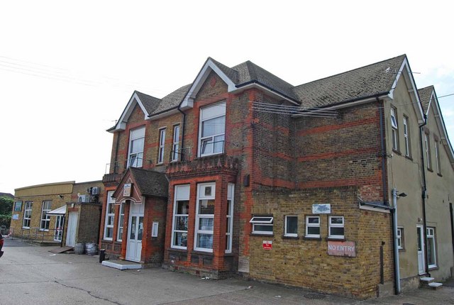
Image: © Martin Beale Taken: 8 Sep 2008
The foundation stone was laid by Mr G. F. Armytage in 1894. He was a local landowner. The building has been altered and extended but the centre section is close to original. At one time it was used by the Parish Council.
Images are licensed for reuse under creativecommons.org/licenses/by-sa/2.0
Image Location
Latitude
51.419446
Longitude
0.561749