Broomhill Road
Introduction
The photograph on this page of Broomhill Road by Ian Capper as part of the Geograph project.
The Geograph project started in 2005 with the aim of publishing, organising and preserving representative images for every square kilometre of Great Britain, Ireland and the Isle of Man.

There are currently over 7.5m images from over 14,400 individuals and you can help contribute to the project by visiting https://www.geograph.org.uk
Broomhill Road
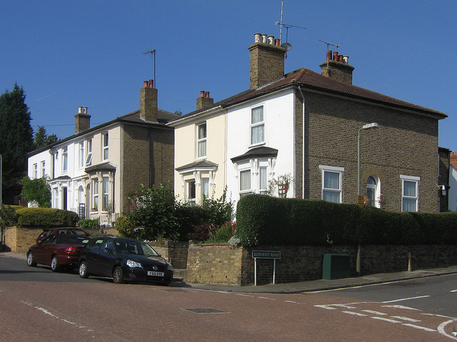
Image: © Ian Capper Taken: 26 Sep 2008
Broomhill itself appears from old maps to have been a small development in its own rights. These Victorian villas (which appear in the 1868 Godfrey Edition map) appear to be the start of its expansion down the hill towards Orpington High Street. This was later followed by a small group of three streets named after southwest England counties (see Image, also note the start of Somerset Road on the right of the photo), with eventual development of the whole road not taking place until interwar years (see Image).
Images are licensed for reuse under creativecommons.org/licenses/by-sa/2.0
Image Location
Latitude
51.379595
Longitude
0.099868