Bridleway / drive through Oakly Park
Introduction
The photograph on this page of Bridleway / drive through Oakly Park by Derek Harper as part of the Geograph project.
The Geograph project started in 2005 with the aim of publishing, organising and preserving representative images for every square kilometre of Great Britain, Ireland and the Isle of Man.

There are currently over 7.5m images from over 14,400 individuals and you can help contribute to the project by visiting https://www.geograph.org.uk
Bridleway / drive through Oakly Park
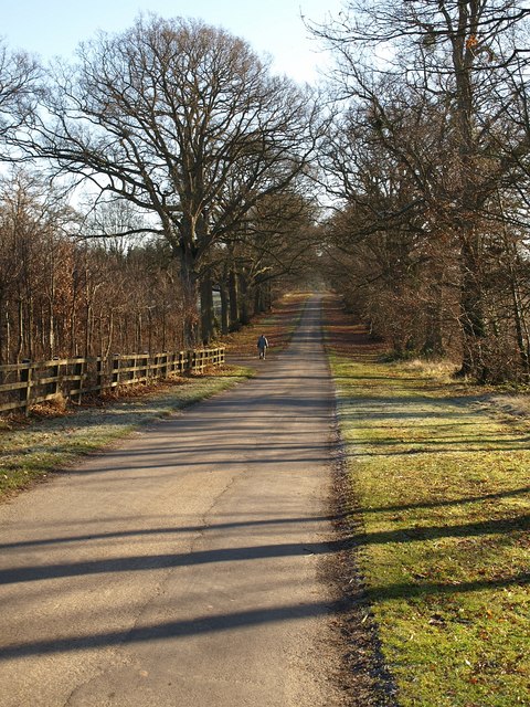
Image: © Derek Harper Taken: 3 Jan 2009
Similar to Image In the dip, the walker has reached the junction with a drive heading left down towards the stable block for Image
Images are licensed for reuse under creativecommons.org/licenses/by-sa/2.0
Image Location
Latitude
52.380867
Longitude
-2.756994