Driveway to Burnside House
Introduction
The photograph on this page of Driveway to Burnside House by Alan Morrison as part of the Geograph project.
The Geograph project started in 2005 with the aim of publishing, organising and preserving representative images for every square kilometre of Great Britain, Ireland and the Isle of Man.

There are currently over 7.5m images from over 14,400 individuals and you can help contribute to the project by visiting https://www.geograph.org.uk
Driveway to Burnside House
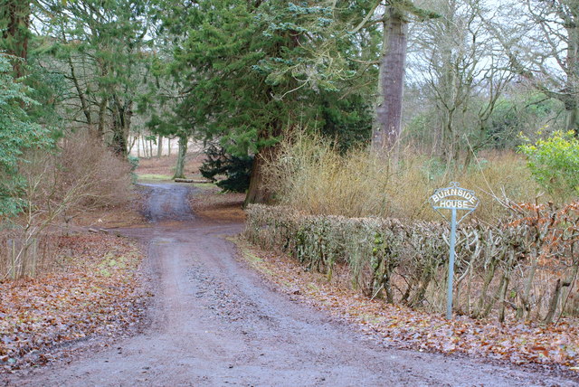
Image: © Alan Morrison Taken: 16 Jan 2009
Burnside House is an Estate near Forfar.
Images are licensed for reuse under creativecommons.org/licenses/by-sa/2.0
Image Location
Latitude
56.639163
Longitude
-2.813536