Queenwood Grove, near Prestbury
Introduction
The photograph on this page of Queenwood Grove, near Prestbury by Brian Robert Marshall as part of the Geograph project.
The Geograph project started in 2005 with the aim of publishing, organising and preserving representative images for every square kilometre of Great Britain, Ireland and the Isle of Man.

There are currently over 7.5m images from over 14,400 individuals and you can help contribute to the project by visiting https://www.geograph.org.uk
Queenwood Grove, near Prestbury
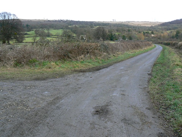
Image: © Brian Robert Marshall Taken: 16 Jan 2009
The lane leads to a property at SO979243 and then continues as a bridleway up the hill to the Cotswold Way, which it joins at SO988249.
Images are licensed for reuse under creativecommons.org/licenses/by-sa/2.0
Image Location
Latitude
51.916143
Longitude
-2.033975