Pelham Road, Immingham
Introduction
The photograph on this page of Pelham Road, Immingham by David Hebb as part of the Geograph project.
The Geograph project started in 2005 with the aim of publishing, organising and preserving representative images for every square kilometre of Great Britain, Ireland and the Isle of Man.

There are currently over 7.5m images from over 14,400 individuals and you can help contribute to the project by visiting https://www.geograph.org.uk
Pelham Road, Immingham
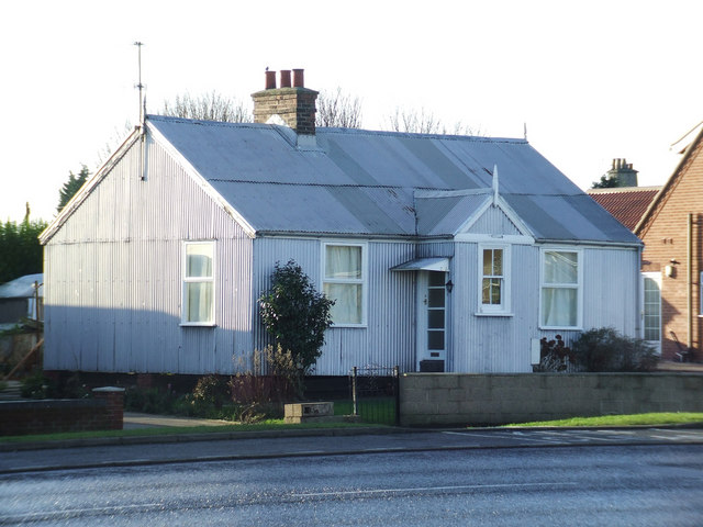
Image: © David Hebb Taken: 16 Jan 2009
The last remaining "Tin House" of a community built in the early years of the last century to house the workmen who came to dig the Deep Water Docks, and their dependents. By 1908 it had become known as "Tin Town" and included shops and a "Tin Mission". http://www.flickr.com/photos/riffraff1/2172180382/
Images are licensed for reuse under creativecommons.org/licenses/by-sa/2.0
Image Location
Latitude
53.61739
Longitude
-0.207615