A Nuttery Orchard
Introduction
The photograph on this page of A Nuttery Orchard by David Anstiss as part of the Geograph project.
The Geograph project started in 2005 with the aim of publishing, organising and preserving representative images for every square kilometre of Great Britain, Ireland and the Isle of Man.

There are currently over 7.5m images from over 14,400 individuals and you can help contribute to the project by visiting https://www.geograph.org.uk
A Nuttery Orchard
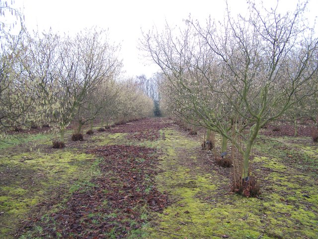
Image: © David Anstiss Taken: 13 Jan 2009
Field of Hazel Trees, possibly Kentish Cobnuts on Hurst Hill. Close to footpath to A2 London Road, via Gore House.
Images are licensed for reuse under creativecommons.org/licenses/by-sa/2.0
Image Location
Latitude
51.363204
Longitude
0.644089