Byway junction on Saxon Shore Way
Introduction
The photograph on this page of Byway junction on Saxon Shore Way by David Anstiss as part of the Geograph project.
The Geograph project started in 2005 with the aim of publishing, organising and preserving representative images for every square kilometre of Great Britain, Ireland and the Isle of Man.

There are currently over 7.5m images from over 14,400 individuals and you can help contribute to the project by visiting https://www.geograph.org.uk
Byway junction on Saxon Shore Way
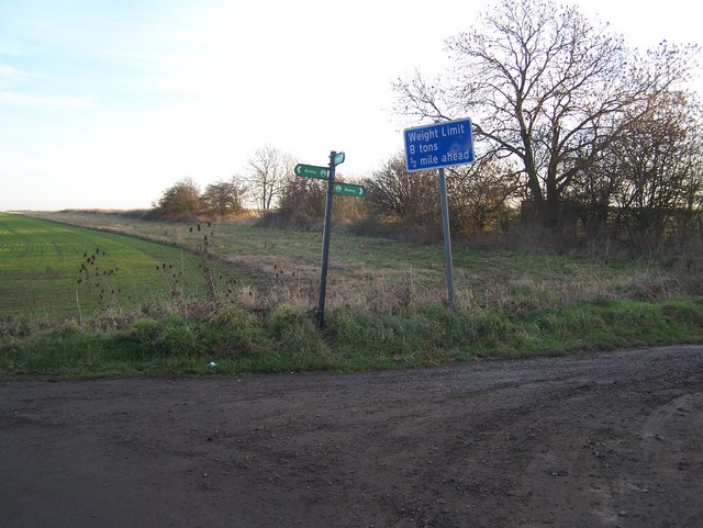
Image: © David Anstiss Taken: 9 Jan 2009
Parbrook Road from Ratcliffe Highway meets the long distance path, which travels left to Parbrook House. Or travels right on Ropers Green Lane (a named byway) to Ropers Farm near Sharnel Street.
Images are licensed for reuse under creativecommons.org/licenses/by-sa/2.0
Image Location


Leaflet Map data © OpenStreetMap
Latitude
51.443863
Longitude
0.584271