Windy End: completed reservoir
Introduction
The photograph on this page of Windy End: completed reservoir by Stephen Craven as part of the Geograph project.
The Geograph project started in 2005 with the aim of publishing, organising and preserving representative images for every square kilometre of Great Britain, Ireland and the Isle of Man.

There are currently over 7.5m images from over 14,400 individuals and you can help contribute to the project by visiting https://www.geograph.org.uk
Windy End: completed reservoir
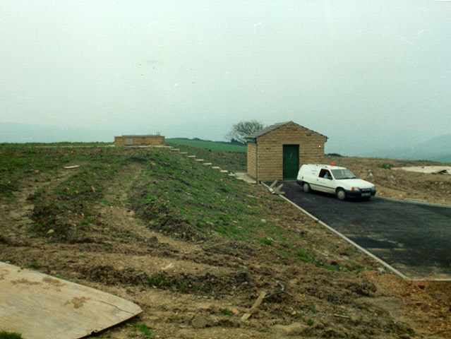
Image: © Stephen Craven Taken: Unknown
Nearly a year after the construction phase shot Image, this view taken during the commissioning phase shows the completed reservoir with soil covering at left, and the valve house at right.
Images are licensed for reuse under creativecommons.org/licenses/by-sa/2.0
Image Location
Latitude
53.631193
Longitude
-1.875812