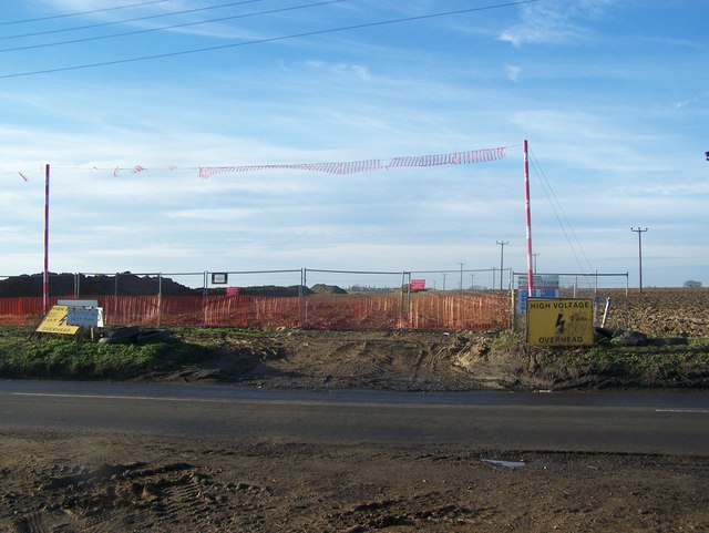
Pipeline works on Allhallows Road
Introduction
The photograph on this page of Pipeline works on Allhallows Road by David Anstiss as part of the Geograph project.
The Geograph project started in 2005 with the aim of publishing, organising and preserving representative images for every square kilometre of Great Britain, Ireland and the Isle of Man.
There are currently over 7.5m images from over 14,400 individuals and you can help contribute to the project by visiting https://www.geograph.org.uk

Image: © David Anstiss Taken: 9 Jan 2009
Just north of Lower Stoke village, these works are going on either side of the road. National Grid is constructing a gas pipeline from the Isle of Grain to Shorne to ensure that natural gas can be transported from the Liquefied Natural Gas (LNG) importation terminal at Grain in sufficient quantity to help meet the growing demand for reliable and economic gas supplies in London and the South of England. The proposed pipeline will be 900mm (36 inches) in diameter and will run for 21km, from National Grid's existing installations at Grain, Shorne and Gravesend. See http://www.nationalgrid.com/uk/Gas/Pipelines/isleofgrainshorne/ for more details.

