White Hall Farm and Wind Turbine
Introduction
The photograph on this page of White Hall Farm and Wind Turbine by David Anstiss as part of the Geograph project.
The Geograph project started in 2005 with the aim of publishing, organising and preserving representative images for every square kilometre of Great Britain, Ireland and the Isle of Man.

There are currently over 7.5m images from over 14,400 individuals and you can help contribute to the project by visiting https://www.geograph.org.uk
White Hall Farm and Wind Turbine
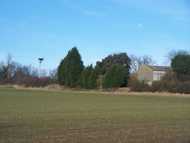
Image: © David Anstiss Taken: 9 Jan 2009
Farm shows eco-energy generating methods. As seen from footpath from Kingsnorth Industrial Estate to Stoke Road near North Street Farm.
Images are licensed for reuse under creativecommons.org/licenses/by-sa/2.0
Image Location
Latitude
51.434801
Longitude
0.599588