Countryside near Minterne Magna
Introduction
The photograph on this page of Countryside near Minterne Magna by Nigel Mykura as part of the Geograph project.
The Geograph project started in 2005 with the aim of publishing, organising and preserving representative images for every square kilometre of Great Britain, Ireland and the Isle of Man.

There are currently over 7.5m images from over 14,400 individuals and you can help contribute to the project by visiting https://www.geograph.org.uk
Countryside near Minterne Magna
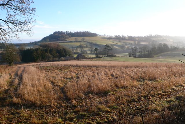
Image: © Nigel Mykura Taken: 14 Jan 2009
View across the valley where the A352 passes north through the gap known as Dogbury Gate between High Stoy and Dogbury, which is the hill in the distance.
Images are licensed for reuse under creativecommons.org/licenses/by-sa/2.0
Image Location
Latitude
50.842583
Longitude
-2.492644