Gillen township
Introduction
The photograph on this page of Gillen township by Richard Dorrell as part of the Geograph project.
The Geograph project started in 2005 with the aim of publishing, organising and preserving representative images for every square kilometre of Great Britain, Ireland and the Isle of Man.

There are currently over 7.5m images from over 14,400 individuals and you can help contribute to the project by visiting https://www.geograph.org.uk
Gillen township
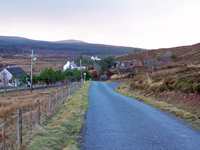
Image: © Richard Dorrell Taken: 13 Jan 2009
Looking south towards Waternish forest. Parts of the forest are currently being felled. The road ends shortly beyond this point.
Images are licensed for reuse under creativecommons.org/licenses/by-sa/2.0
Image Location
Latitude
57.547525
Longitude
-6.569266