Shops, Havelock Road
Introduction
The photograph on this page of Shops, Havelock Road by Simon Carey as part of the Geograph project.
The Geograph project started in 2005 with the aim of publishing, organising and preserving representative images for every square kilometre of Great Britain, Ireland and the Isle of Man.

There are currently over 7.5m images from over 14,400 individuals and you can help contribute to the project by visiting https://www.geograph.org.uk
Shops, Havelock Road
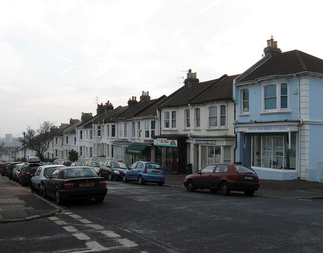
Image: © Simon Carey Taken: 11 Jan 2009
Near the crossroads with Lucerne Road. Havelock Road links Stanford Avenue with Preston Drove and this portion south of the crossroads was developed in the late 1880s.
Images are licensed for reuse under creativecommons.org/licenses/by-sa/2.0
Image Location
Latitude
50.841685
Longitude
-0.141345