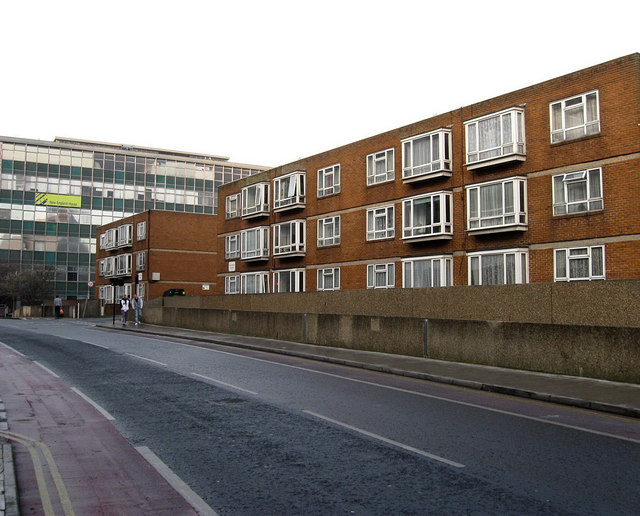
New England Street
Introduction
The photograph on this page of New England Street by Simon Carey as part of the Geograph project.
The Geograph project started in 2005 with the aim of publishing, organising and preserving representative images for every square kilometre of Great Britain, Ireland and the Isle of Man.
There are currently over 7.5m images from over 14,400 individuals and you can help contribute to the project by visiting https://www.geograph.org.uk

Image: © Simon Carey Taken: 11 Jan 2009
Originally the street began at New England Road but ended at the junction with York Hill where it became New York Street which itself ended at Ann Street where it continued as Fleet Street. The whole street was redeveloped in the early 1960s with New England House, the building on the left, constructed in 1962 and the name New England Street extended down to Cheapside but now lacking in houses along its length. The street was altered as part of the New England Quarter when a new route left Cheapside near Station Street and rejoined New England Street next to New England House. This was the revived named Fleet Street. The other building in view is Mayflower Court built in the 1970s above a car park.

