A new woodland path
Introduction
The photograph on this page of A new woodland path by Paul Harvey as part of the Geograph project.
The Geograph project started in 2005 with the aim of publishing, organising and preserving representative images for every square kilometre of Great Britain, Ireland and the Isle of Man.

There are currently over 7.5m images from over 14,400 individuals and you can help contribute to the project by visiting https://www.geograph.org.uk
A new woodland path
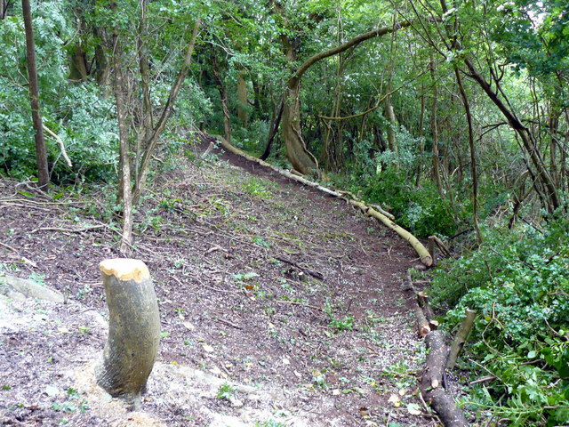
Image: © Paul Harvey Taken: 16 May 2008
This new path is being cut by National Trust volunteers through woodland to provide a link from an existing path starting at ST 38250 55600, heading in a SE direction, and finishing at ST 38975 55175. It is steep in some places to avoid passing too close to houses and 400 metres from its SE end it comes out onto open grassland with many wild flowers in the spring and early summer.
Images are licensed for reuse under creativecommons.org/licenses/by-sa/2.0
Image Location
Latitude
51.296172
Longitude
-2.88588