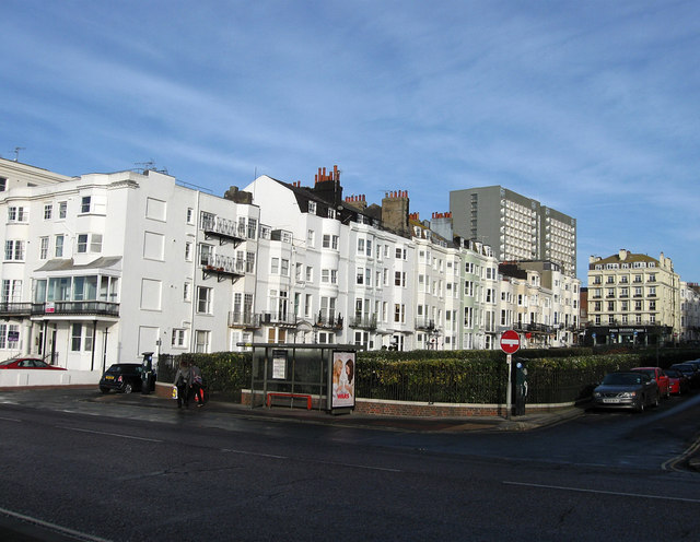
New Steine
Introduction
The photograph on this page of New Steine by Simon Carey as part of the Geograph project.
The Geograph project started in 2005 with the aim of publishing, organising and preserving representative images for every square kilometre of Great Britain, Ireland and the Isle of Man.
There are currently over 7.5m images from over 14,400 individuals and you can help contribute to the project by visiting https://www.geograph.org.uk

Image: © Simon Carey Taken: 11 Jan 2009
Constructed in the early 1790s on land once known as Cliff Furlong. It is the only square found between the Old Steine and Bedford Street as land in the late 18th century was worth a fortune particularly for developers, the few who built villas with spacious gardens soon pulled them down to build plots of terraced cottages or lodging houses. One of the reasons for the public gardens was that a chalk pit originally occupied the northern end making it dangerous for building on. This is the western side viewed from Marine Parade.

