Town Hall, Bartholomews
Introduction
The photograph on this page of Town Hall, Bartholomews by Simon Carey as part of the Geograph project.
The Geograph project started in 2005 with the aim of publishing, organising and preserving representative images for every square kilometre of Great Britain, Ireland and the Isle of Man.

There are currently over 7.5m images from over 14,400 individuals and you can help contribute to the project by visiting https://www.geograph.org.uk
Town Hall, Bartholomews
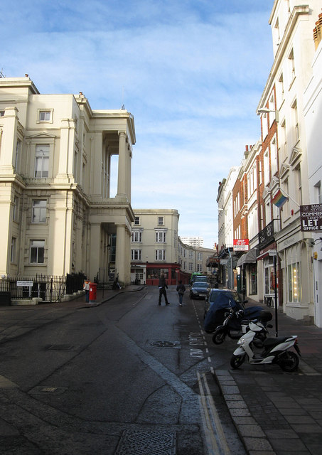
Image: © Simon Carey Taken: 11 Jan 2009
The road derives its name from the priory that once stood on the site of the Town Hall, it was burnt down, along with the rest of the town, by the French in 1515. For a while the local market was held on the spot until the current building was erected in 1830-32.
Images are licensed for reuse under creativecommons.org/licenses/by-sa/2.0
Image Location
Latitude
50.820977
Longitude
-0.139895