The Thiepval Road, Lisburn (1)
Introduction
The photograph on this page of The Thiepval Road, Lisburn (1) by Albert Bridge as part of the Geograph project.
The Geograph project started in 2005 with the aim of publishing, organising and preserving representative images for every square kilometre of Great Britain, Ireland and the Isle of Man.

There are currently over 7.5m images from over 14,400 individuals and you can help contribute to the project by visiting https://www.geograph.org.uk
The Thiepval Road, Lisburn (1)
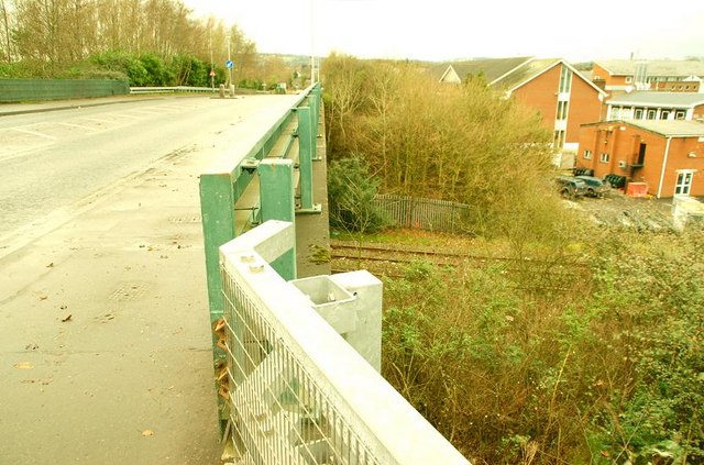
Image: © Albert Bridge Taken: 11 Jan 2009
See Image The Thiepval Road (often pronounced “Theepval”) is part of the Lisburn ring road/throughpass. More than 22 years later this is best I could manage for a “then and now” shot. The view is towards Ballymacash. Continue to Image
Images are licensed for reuse under creativecommons.org/licenses/by-sa/2.0
Image Location
Latitude
54.513281
Longitude
-6.052617