River Wylye at Norton Bavant
Introduction
The photograph on this page of River Wylye at Norton Bavant by Phil Williams as part of the Geograph project.
The Geograph project started in 2005 with the aim of publishing, organising and preserving representative images for every square kilometre of Great Britain, Ireland and the Isle of Man.

There are currently over 7.5m images from over 14,400 individuals and you can help contribute to the project by visiting https://www.geograph.org.uk
River Wylye at Norton Bavant
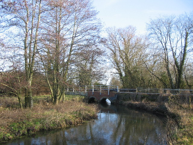
Image: © Phil Williams Taken: 21 Jan 2006
A view looking southeast (downstream) towards the bridge carrying the minor road from Sutton Veny to Heytesbury over the River Wylye.
Images are licensed for reuse under creativecommons.org/licenses/by-sa/2.0
Image Location
Latitude
51.184355
Longitude
-2.131579