Netherton Hills
Introduction
The photograph on this page of Netherton Hills by Brian Clift as part of the Geograph project.
The Geograph project started in 2005 with the aim of publishing, organising and preserving representative images for every square kilometre of Great Britain, Ireland and the Isle of Man.

There are currently over 7.5m images from over 14,400 individuals and you can help contribute to the project by visiting https://www.geograph.org.uk
Netherton Hills
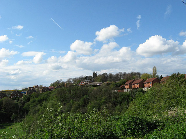
Image: © Brian Clift Taken: 1 May 2008
View shows, lower left The Marlhole (now a playing field), the houses of Queens Gardens and Alpine Drive centre right, Highbridge Road, centre left, and St Andrews Church.
Images are licensed for reuse under creativecommons.org/licenses/by-sa/2.0
Image Location


Leaflet Map data © OpenStreetMap
Latitude
52.48925
Longitude
-2.091118