South of Hatfield Cemetery
Introduction
The photograph on this page of South of Hatfield Cemetery by Barry Lawson as part of the Geograph project.
The Geograph project started in 2005 with the aim of publishing, organising and preserving representative images for every square kilometre of Great Britain, Ireland and the Isle of Man.

There are currently over 7.5m images from over 14,400 individuals and you can help contribute to the project by visiting https://www.geograph.org.uk
South of Hatfield Cemetery
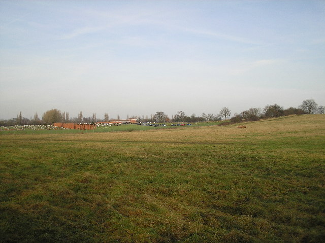
Image: © Barry Lawson Taken: 24 Jan 2006
Photographed from the footpath to the east of the sports ground at the south east junction of the A1(M) and A1001. Looking north eastwards, to the left is the cemetery, to the right, one of four burned out cars I saw on this field today.
Images are licensed for reuse under creativecommons.org/licenses/by-sa/2.0
Image Location


Leaflet Map data © OpenStreetMap
Latitude
51.74382
Longitude
-0.227098