A1(M), Hatfield, South of junction 2.
Introduction
The photograph on this page of A1(M), Hatfield, South of junction 2. by Barry Lawson as part of the Geograph project.
The Geograph project started in 2005 with the aim of publishing, organising and preserving representative images for every square kilometre of Great Britain, Ireland and the Isle of Man.

There are currently over 7.5m images from over 14,400 individuals and you can help contribute to the project by visiting https://www.geograph.org.uk
A1(M), Hatfield, South of junction 2.
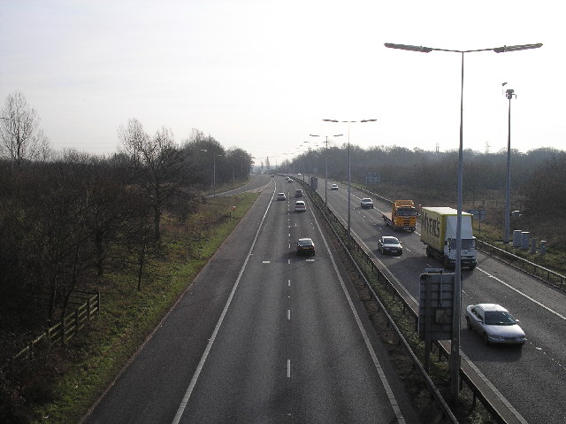
Image: © Barry Lawson Taken: 24 Jan 2006
Photographed from the junction 2 bridge looking southwards. To the left is the southbound on slip.
Images are licensed for reuse under creativecommons.org/licenses/by-sa/2.0
Image Location
Latitude
51.744037
Longitude
-0.241575