Roehyde Way, Hatfield. A1001
Introduction
The photograph on this page of Roehyde Way, Hatfield. A1001 by Barry Lawson as part of the Geograph project.
The Geograph project started in 2005 with the aim of publishing, organising and preserving representative images for every square kilometre of Great Britain, Ireland and the Isle of Man.

There are currently over 7.5m images from over 14,400 individuals and you can help contribute to the project by visiting https://www.geograph.org.uk
Roehyde Way, Hatfield. A1001
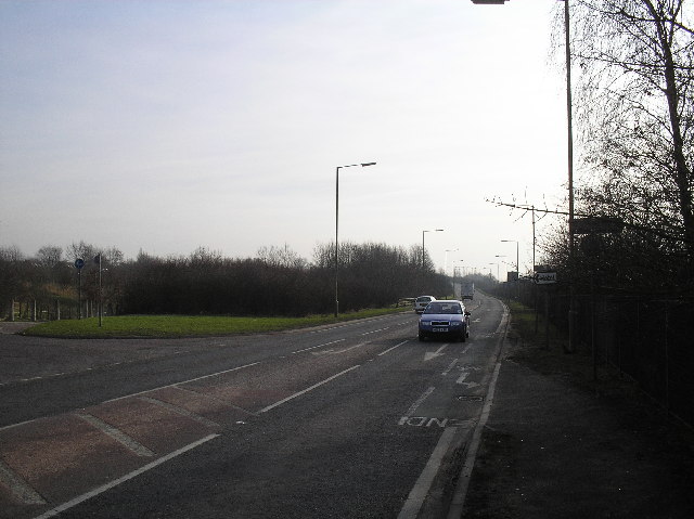
Image: © Barry Lawson Taken: 24 Jan 2006
Photographed looking south, towards junction 2 of the A1(M), which is just at the top of the hill in the distance. Taken from opposite the Quality Hotel. This road used to be the A1, until the motorway was opened.
Images are licensed for reuse under creativecommons.org/licenses/by-sa/2.0
Image Location
Latitude
51.744037
Longitude
-0.241575