Roehyde Way, Hatfield. A1001
Introduction
The photograph on this page of Roehyde Way, Hatfield. A1001 by Barry Lawson as part of the Geograph project.
The Geograph project started in 2005 with the aim of publishing, organising and preserving representative images for every square kilometre of Great Britain, Ireland and the Isle of Man.

There are currently over 7.5m images from over 14,400 individuals and you can help contribute to the project by visiting https://www.geograph.org.uk
Roehyde Way, Hatfield. A1001
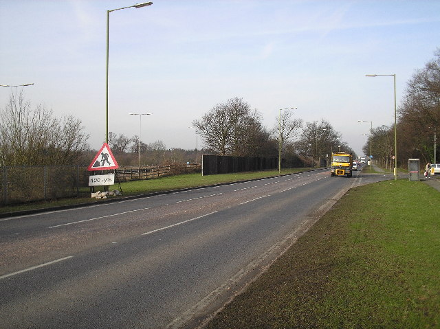
Image: © Barry Lawson Taken: 24 Jan 2006
Photographed looking northwards towards the University of Hertfordshire and junction 3 of the A1(M). To the left of the picture is the A1(M), behind the fence, which runs parallel with Roehyde Way. This road was the A1 until the motorway was opened. Photograph taken outside the Quality Hotel. At the time of taking, there are roadworks at the roundabout outside the University on the corner of College Lane, hence the sign in the foreground.
Images are licensed for reuse under creativecommons.org/licenses/by-sa/2.0
Image Location
Latitude
51.744037
Longitude
-0.241575