Alban Way. Old Nast Hyde Halt Station. Hatfield.
Introduction
The photograph on this page of Alban Way. Old Nast Hyde Halt Station. Hatfield. by Barry Lawson as part of the Geograph project.
The Geograph project started in 2005 with the aim of publishing, organising and preserving representative images for every square kilometre of Great Britain, Ireland and the Isle of Man.

There are currently over 7.5m images from over 14,400 individuals and you can help contribute to the project by visiting https://www.geograph.org.uk
Alban Way. Old Nast Hyde Halt Station. Hatfield.
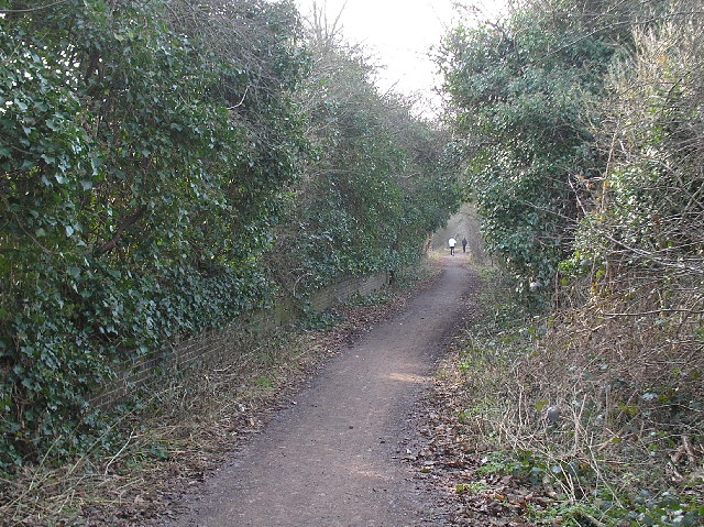
Image: © Barry Lawson Taken: 24 Jan 2006
Alban Way is a cycle and footpath which runs along the route of the old Hatfield to St Albans railway. The platform was the old Station, Nast Hyde Halt. It was opened in 1910 and closed in 1951. Photographed looking west from Ellenbrook Lane.
Images are licensed for reuse under creativecommons.org/licenses/by-sa/2.0
Image Location
Latitude
51.753024
Longitude
-0.241226