Track east of Gaer Farm
Introduction
The photograph on this page of Track east of Gaer Farm by Chris Heaton as part of the Geograph project.
The Geograph project started in 2005 with the aim of publishing, organising and preserving representative images for every square kilometre of Great Britain, Ireland and the Isle of Man.

There are currently over 7.5m images from over 14,400 individuals and you can help contribute to the project by visiting https://www.geograph.org.uk
Track east of Gaer Farm
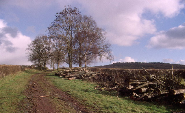
Image: © Chris Heaton Taken: 26 Nov 2000
Superb track or green lane running east from Y Gaer towards the plantation just seen above the hedge
Images are licensed for reuse under creativecommons.org/licenses/by-sa/2.0
Image Location
Latitude
51.958651
Longitude
-3.449439