Huddersfield: The Aspley Basin
Introduction
The photograph on this page of Huddersfield: The Aspley Basin by Martyn Gorman as part of the Geograph project.
The Geograph project started in 2005 with the aim of publishing, organising and preserving representative images for every square kilometre of Great Britain, Ireland and the Isle of Man.

There are currently over 7.5m images from over 14,400 individuals and you can help contribute to the project by visiting https://www.geograph.org.uk
Huddersfield: The Aspley Basin
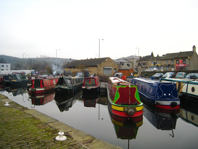
Image: © Martyn Gorman Taken: 9 Jan 2009
Canal boats in the Aspley basin at the junction of the Huddersfield narrow and broad canals.
Images are licensed for reuse under creativecommons.org/licenses/by-sa/2.0
Image Location
Latitude
53.640666
Longitude
-1.776714