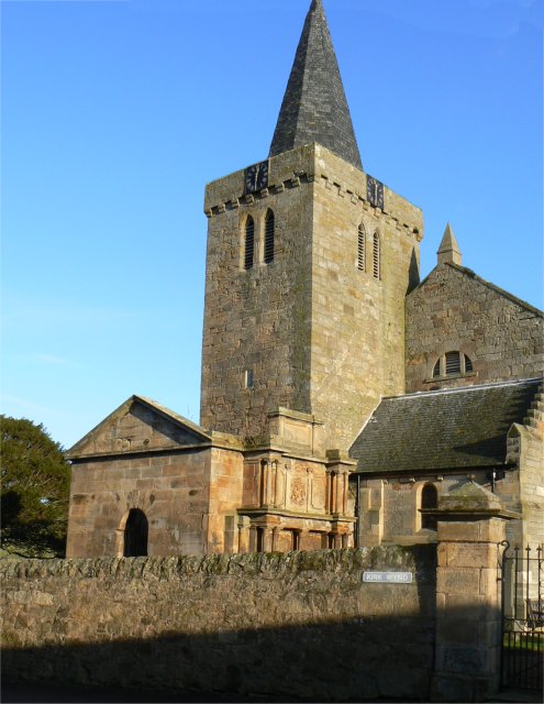
Kilrenny Church
Introduction
The photograph on this page of Kilrenny Church by James Allan as part of the Geograph project.
The Geograph project started in 2005 with the aim of publishing, organising and preserving representative images for every square kilometre of Great Britain, Ireland and the Isle of Man.
There are currently over 7.5m images from over 14,400 individuals and you can help contribute to the project by visiting https://www.geograph.org.uk

Image: © James Allan Taken: 8 Jan 2009
Although a board at the church door claims the church was 'consecrated in 1243' the tower is the only part of the structure that dates even as far back as the 15th century. Early in the 19th century the existing church was found to be unsafe and taken down, so most of the present building dates only from around 1810. The ornate columns nearest the camera form the family burial enclosure of the Lumsdaines who lived in nearby Innergellie House.

